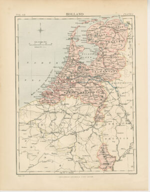
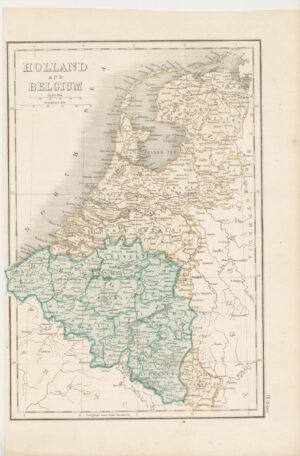
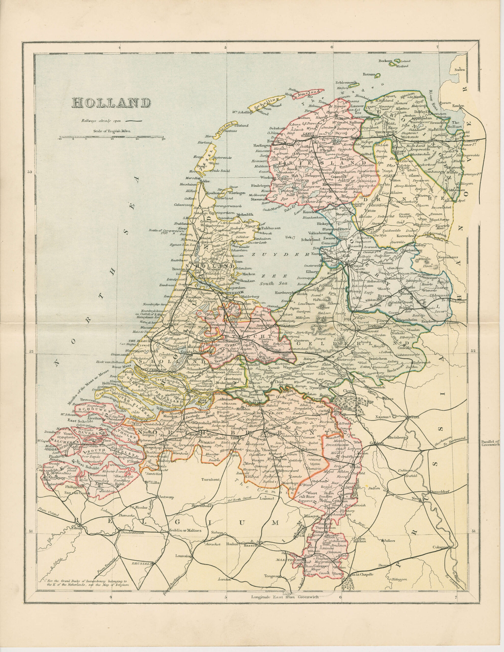
Nederland, uit ‘The Gallery Of Geography – Pictorial And Descriptive Tour Of The World’
Uitgegeven door William Mackenzie
Meerkleurig lithografie
Geen schaalopgave, wel schaalstok in Engelse mijlen.
Links boven in de kaart: HOLLAND
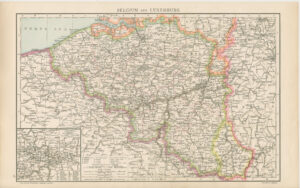
Linker onder in de kaart: For the Grand Duchy of Luxemburg belonging to the K. of the Netherlands, see the Map of Belgium (Voor het Groothertogdom Luxemburg, behorende tot de K[oning] der Nederlanden, zie de Kaart van België)
Achterzijde: blank
Blad heeft licht zichtbare middenvouw
Afmetingen (breedte x hoogte in cm):
Blad: 25,6 x 23,9
-scaled.jpg)
